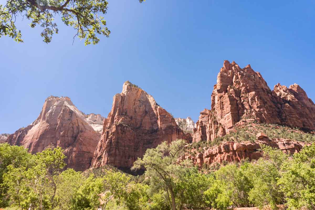
When it comes to views, Zion National Park is one of the most spectacular places on earth, and the best way to see it is on foot. Its trails range from flat, paved riverside strolls to the chains of Angels Landing and the river itself in The Narrows.
These are 14 of the best hikes in Zion, from easy walks for all the family to big days out, including the Watchman Trail, one of our favourites. For each one you’ll find the distance, difficulty and anything you need to know before you go, from permits to current closures.
Best Hikes in Zion National Park: At a Glance
| Hike | Round trip | Difficulty |
| Pa’rus Trail | Up to 3.5 miles | Easy |
| Riverside Walk | 2.2 miles | Easy |
| Weeping Rock | 0.4 miles | Easy |
| Emerald Pools | 1.2 to 3 miles | Easy to moderate |
| Canyon Overlook | 1 mile | Moderate |
| Watchman Trail | 3.3 miles | Moderate |
| Northgate Peaks | 4.2 miles | Easy to moderate |
| Taylor Creek | 5 miles | Moderate |
| Observation Point (via East Mesa) | 6.8 miles | Moderate |
| Scout Lookout | About 4 miles | Strenuous |
| Angels Landing | 5.4 miles | Strenuous, permit required |
| The Narrows | Up to 10 miles | Moderate to strenuous |
| The Subway | 9 miles | Very strenuous, permit required |
| Kolob Arch | 14 miles | Strenuous |
The Best Hikes in Zion National Park
Pa’rus Trail
Length: up to 3.5 miles (5.6km) round trip
Difficulty: Easy
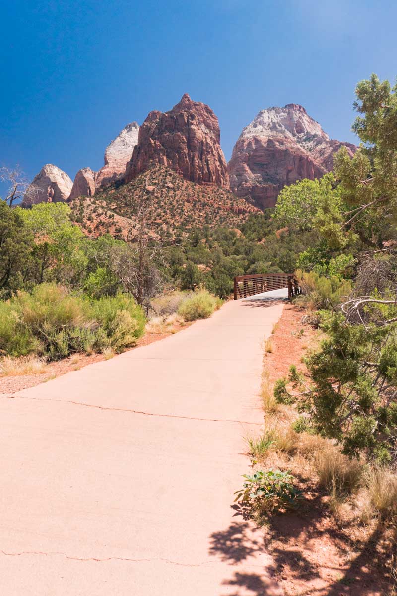
New to hiking? Not every trail in Zion means steep drops and loose footing. The Pa’rus Trail runs along the Virgin River from the Zion Canyon Visitor Center to Canyon Junction, and it’s flat, paved and accessible for wheelchairs. It’s also the only trail in the park that allows bikes and dogs on a lead.
It’s beautiful early in the morning, when the first light hits the peaks, and again at sunset. We loved paddling in the river along the way, and after dark it’s a brilliant spot for stargazing: with so little light pollution, you can see the Milky Way framed by the canyon walls.
Angels Landing
Length: 5.4 miles (8.7km) round trip
Difficulty: Strenuous
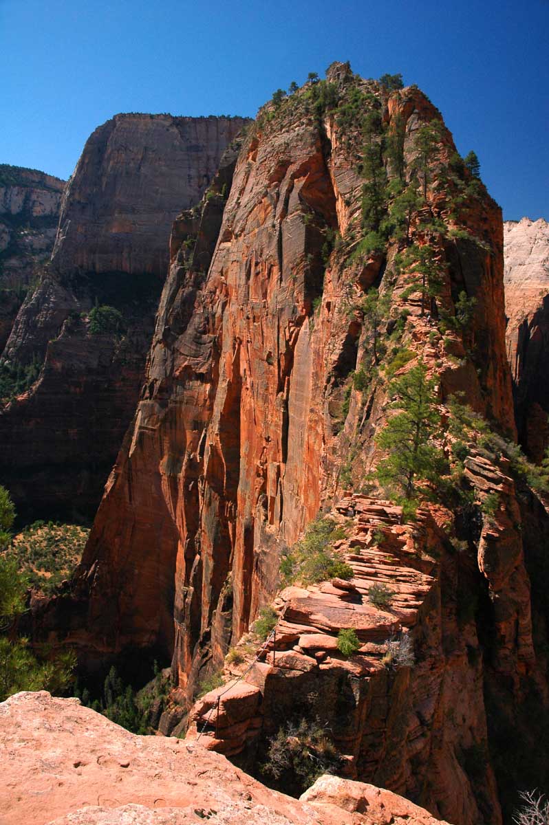
Feeling brave? Angels Landing is Zion’s most famous hike, and one of its most demanding. From The Grotto (shuttle stop 6), you climb almost 1,500 feet, up the switchbacks of Walter’s Wiggles to Scout Lookout, then along a narrow fin of rock with sheer drops on both sides, holding on to chains.
At the top, the 360-degree views over Zion Canyon are unforgettable. You’ll need a permit, from a seasonal lottery or a day-before lottery on Recreation.gov, and a head for heights. The final section is genuinely dangerous: people have died falling from it, so take great care, and don’t attempt it in wet or icy conditions.
Scout Lookout
Length: about 4 miles (6.4km) round trip
Difficulty: Strenuous
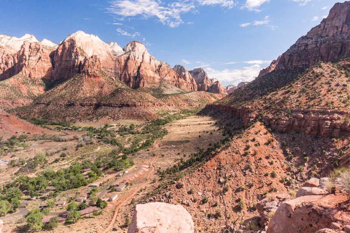
No Angels Landing permit? You can still hike the first part of the trail to Scout Lookout without one. It’s a tough climb of around 1,000 feet from The Grotto, up the West Rim Trail and Walter’s Wiggles, but the views across Zion Canyon from the top are superb, and you can watch hikers inching along the chains to Angels Landing. There are restrooms at the lookout.
The Watchman
Length: 3.3 miles (5.3km) round trip
Difficulty: Moderate
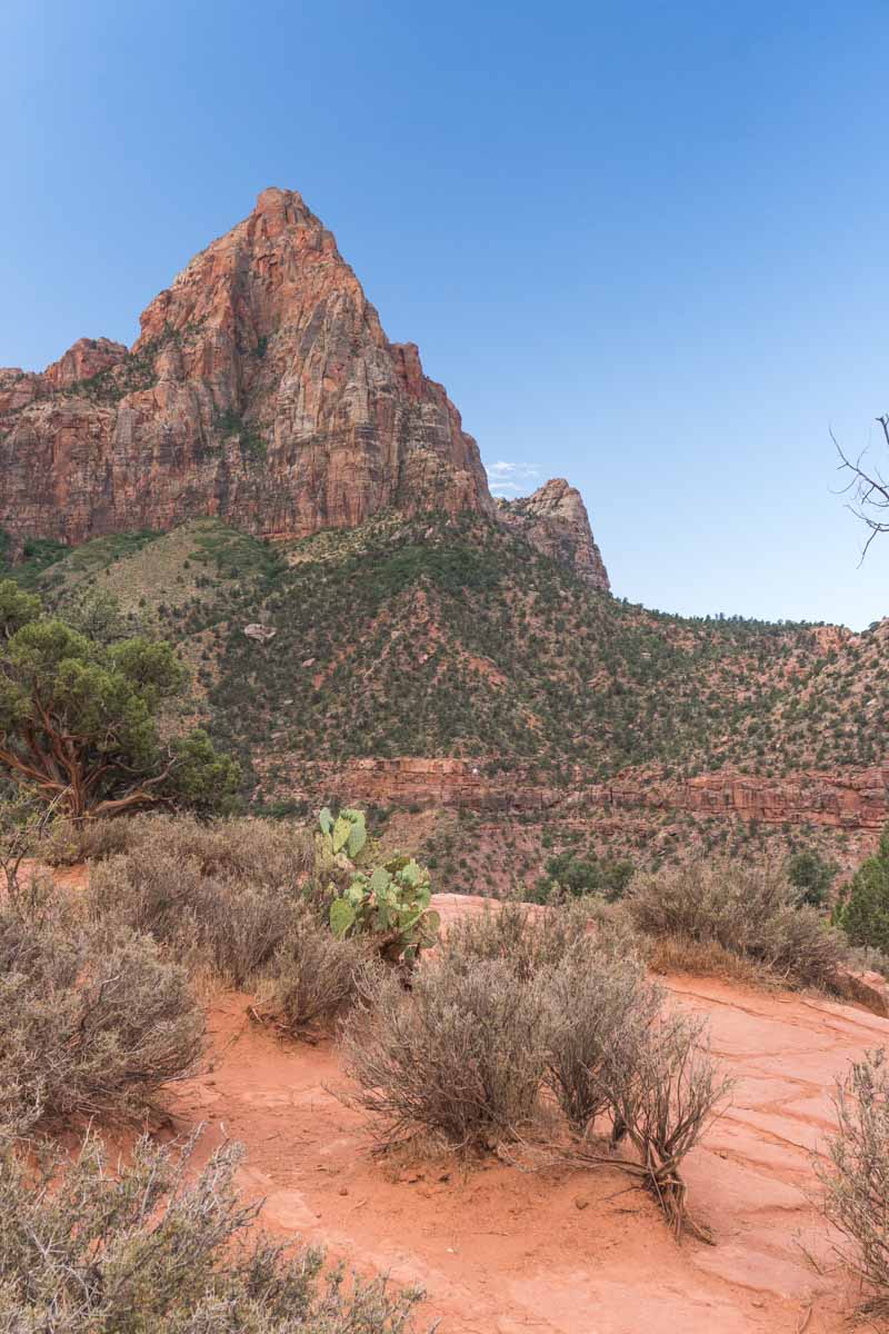
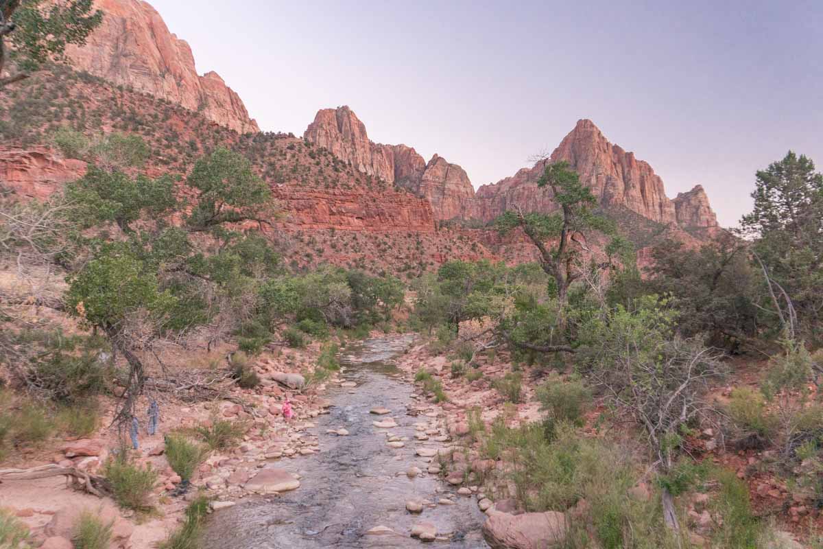
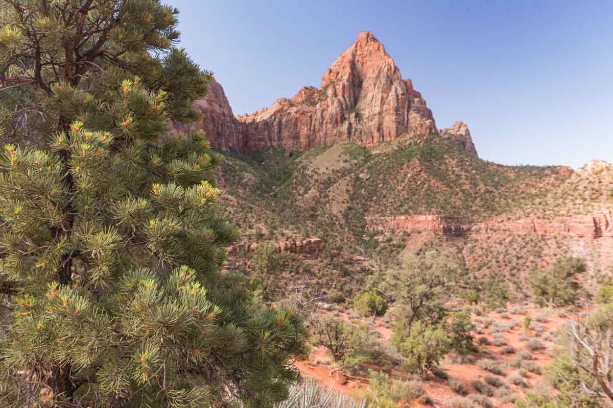
The Watchman Trail is one of our favourite hikes in Zion, and one of the quietest in the main canyon. It starts at the Zion Canyon Visitor Center, follows the Virgin River, then climbs past Bridge Mountain to a viewpoint below the Watchman. It took us about an hour and a half.
Most people turn back at the first plateau, but don’t: the short loop beyond it has the best views on the trail. There’s no shade at all, and it’s very hot in summer, so go early. The Watchman Trail is currently closed pending repairs, so check the NPS conditions page before you go.
Emerald Pools
Length: 1.2 miles (1.9km) round trip to Lower Emerald Pool; about 3 miles (4.8km) to Upper
Difficulty: Easy to moderate
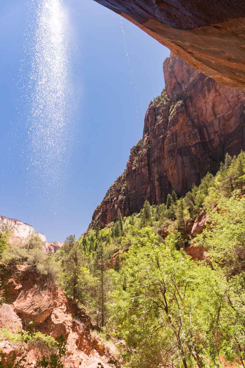
The Emerald Pools are one of Zion’s classic hikes. There are three: the Lower Emerald Pool is an easy, mostly paved walk from Zion Lodge (shuttle stop 5) to a waterfall dripping from an overhang into a pool below. From there, the trail climbs to the Middle Emerald Pools and then up stone steps to the Upper Emerald Pool, below the cliffs of Lady Mountain.
We found Lower Emerald Pool busy, and pretty rather than jaw-dropping, so it’s worth carrying on to the upper pools if you have time. You can make a loop by returning on the Kayenta Trail to The Grotto (stop 6). The restaurant at Zion Lodge gets very busy at lunchtime, so bring a packed lunch. Swimming and wading in the pools isn’t allowed.
The Narrows
Length: up to about 10 miles (16km) round trip to Big Spring
Difficulty: Moderate to strenuous
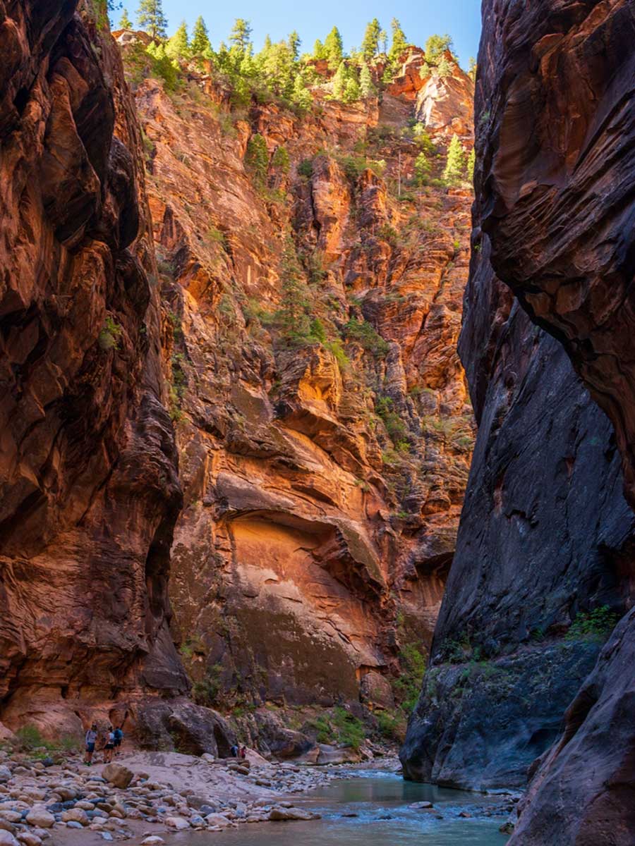
The Narrows is one of the most extraordinary hikes in Zion. From the Temple of Sinawava (shuttle stop 9), you follow the paved Riverside Walk, then wade up the North Fork of the Virgin River between walls of Navajo sandstone up to a thousand feet high. The deeper into the canyon you go, the better it gets, especially at Wall Street.
Top Tip: The Narrows closes when the river is high and when flash floods are forecast, and the river is under a cyanobacteria advisory, so don’t drink the water or put your head under. Check conditions on the day.
Canyon Overlook Trail
Length: 1 mile (1.6km) round trip
Difficulty: Moderate
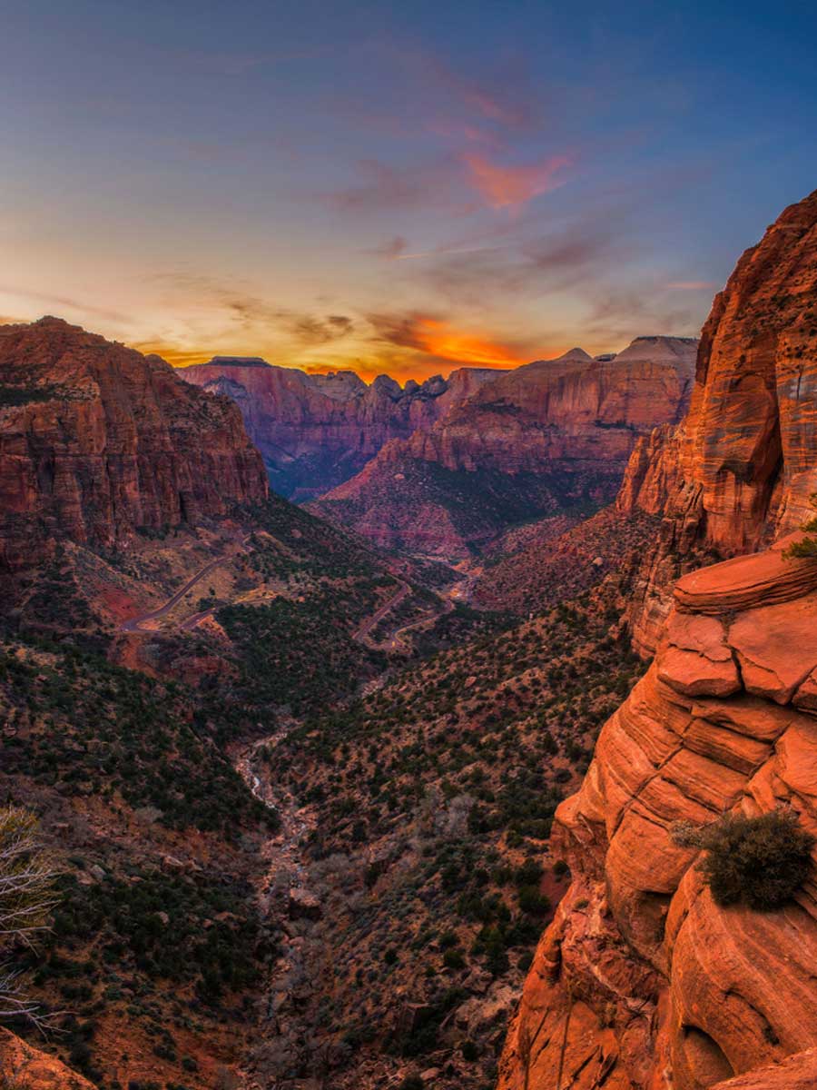
Short but very scenic, the Canyon Overlook Trail is one of the best-value hikes in Zion. It starts just east of the Zion-Mount Carmel Tunnel, and the drive up the switchbacks and through the tunnel sets the tone. The trail climbs gently along ledges, with some drop-offs, to a viewpoint high above lower Zion Canyon and Pine Creek.
Parking at the trailhead is extremely limited, so arrive early. The Zion-Mount Carmel Highway reopened on 9 October 2026 after a rockfall, with a temporary gravel section, so expect delays. Large vehicles over the park’s size limits can’t use this road.
Taylor Creek Trail
Length: 5 miles (8km) round trip
Difficulty: Moderate
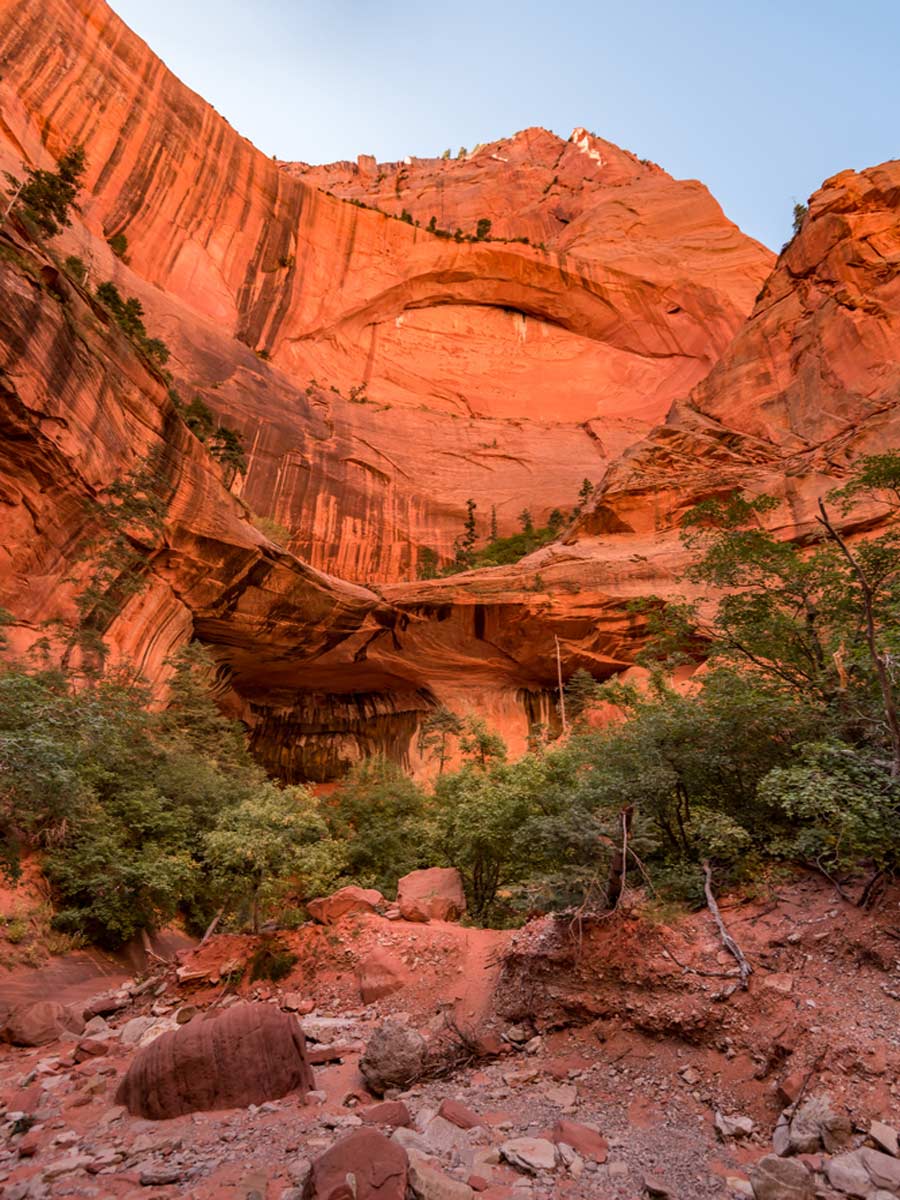
Zion gets very busy, so if you want to escape the crowds of the main canyon, head to the Kolob Canyons section in the north-west of the park. The Taylor Creek Trail follows the Middle Fork of Taylor Creek between towering red cliffs, past two homestead cabins from the 1930s, to Double Arch Alcove, a huge, colourful alcove in the canyon wall.
The trail crosses the creek many times, so expect wet feet. It’s currently closed after flooding, and the Kolob Canyons Road is closed beyond the South Fork trailhead after a rockfall, so check the NPS conditions page before you go.
Observation Point
Length: 6.8 miles (10.9km) round trip via the East Mesa Trail
Difficulty: Moderate
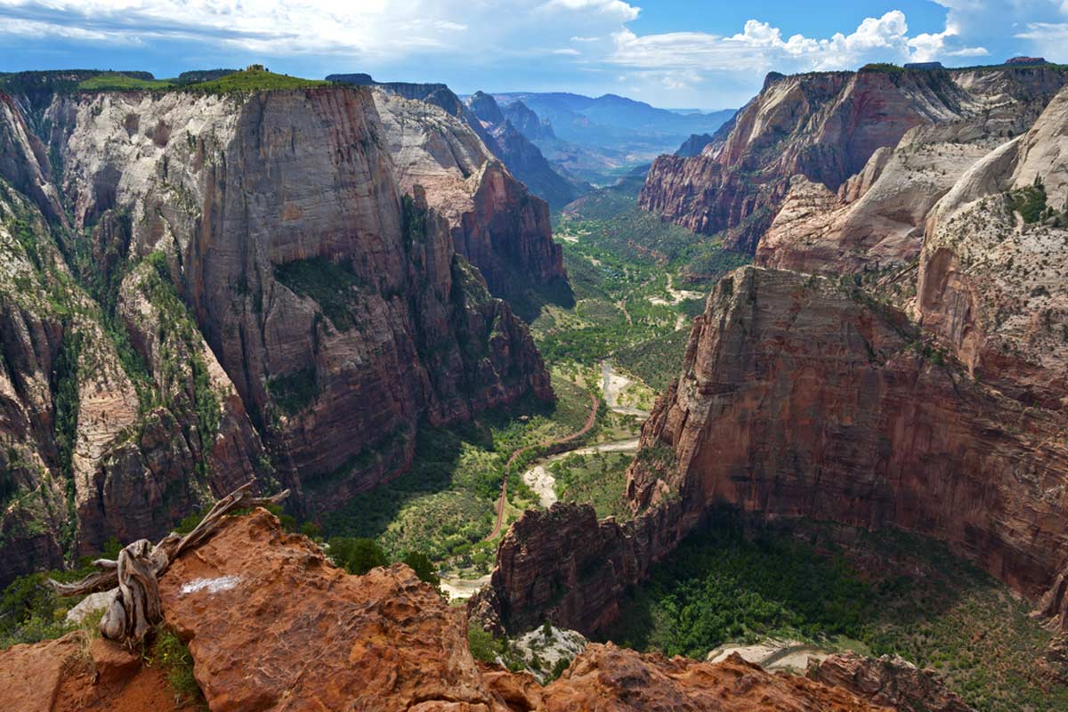
Observation Point has one of the finest views in Zion, looking straight down the canyon with Angels Landing far below. The classic route up the East Rim Trail from Weeping Rock has been closed since a major rockfall, but you can still reach it from the east on the East Mesa Trail, a much gentler hike across the plateau through ponderosa pines.
The trailhead is near Zion Ponderosa Ranch Resort, east of the park. The last stretch of the access road needs a high-clearance or 4WD vehicle and turns to mud after rain or snow, and parking is limited, so you may prefer to book a shuttle from Zion Ponderosa or East Zion Adventures.
Riverside Walk
Length: 2.2 miles (3.5km) round trip
Difficulty: Easy
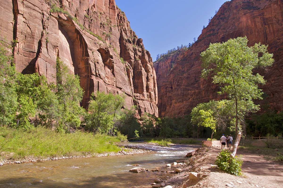
Known as the gateway to The Narrows, the Riverside Walk is one of the easiest and prettiest walks in Zion. From the Temple of Sinawava (shuttle stop 9), the paved path follows the Virgin River for a mile, past hanging gardens and weeping walls, to the point where the canyon closes in and The Narrows begins.
Wheelchair users may need some assistance on the steeper sections. If you’re feeling adventurous, you can carry on into The Narrows, conditions permitting.
Kolob Arch
Length: 14 miles (22.5km) round trip
Difficulty: Strenuous
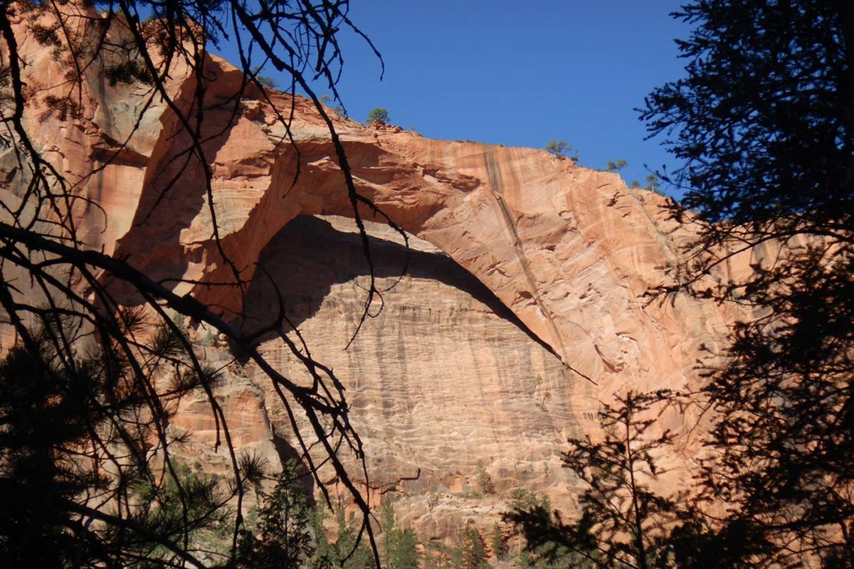
Kolob Arch is one of the largest natural arches in the world, a great span of red and orange rock tucked away in a side canyon in the Kolob Canyons section of the park. The classic route follows La Verkin Creek from Lee Pass, through desert and forest, and it’s a long day hike.
To split it over two days, you can camp at one of the designated sites along the way with a wilderness permit. Lee Pass is currently cut off by the Kolob Canyons Road closure, so check the NPS conditions page before you plan this one.
Weeping Rock Trail
Length: 0.4 miles (0.6km) round trip
Difficulty: Easy
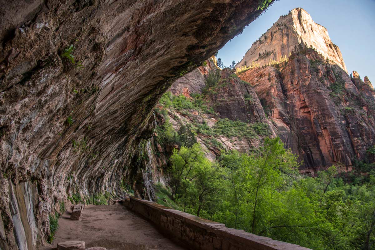
One of the shortest hikes in Zion, the Weeping Rock Trail reopened in September 2025, along with its shuttle stop (stop 7), after a rockfall. The short, paved path is a little steep but easy enough for most people, and it leads to an alcove in the cliff draped in hanging gardens, where water seeps from the rock above.
The trails to Hidden Canyon and Observation Point that used to start here are still closed.
Northgate Peaks Trail
Length: 4.2 miles (6.8km) round trip
Difficulty: Easy to moderate
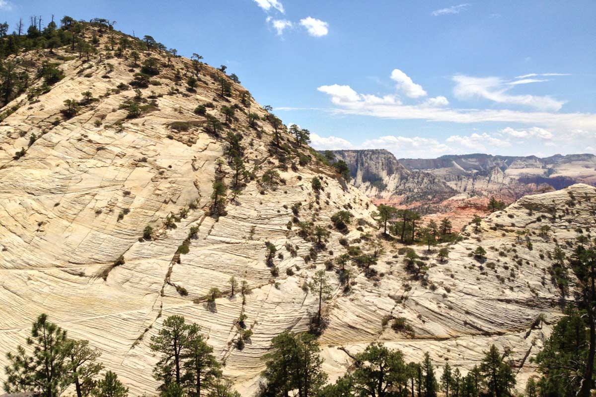
Up on the Kolob Terrace, the Northgate Peaks Trail is one of the most underrated hikes in Zion. From the Wildcat Canyon trailhead, it crosses meadows and pine forest to a viewpoint between the white sandstone domes of the North Guardian Angel and the Northgate Peaks.
It’s a peaceful, mostly level walk at high elevation, and far quieter than anything in Zion Canyon. Kolob Terrace Road usually closes from late autumn to spring because of snow, so check before you go.
The Subway
Length: 9 miles (14.5km) round trip from the bottom
Difficulty: Very strenuous
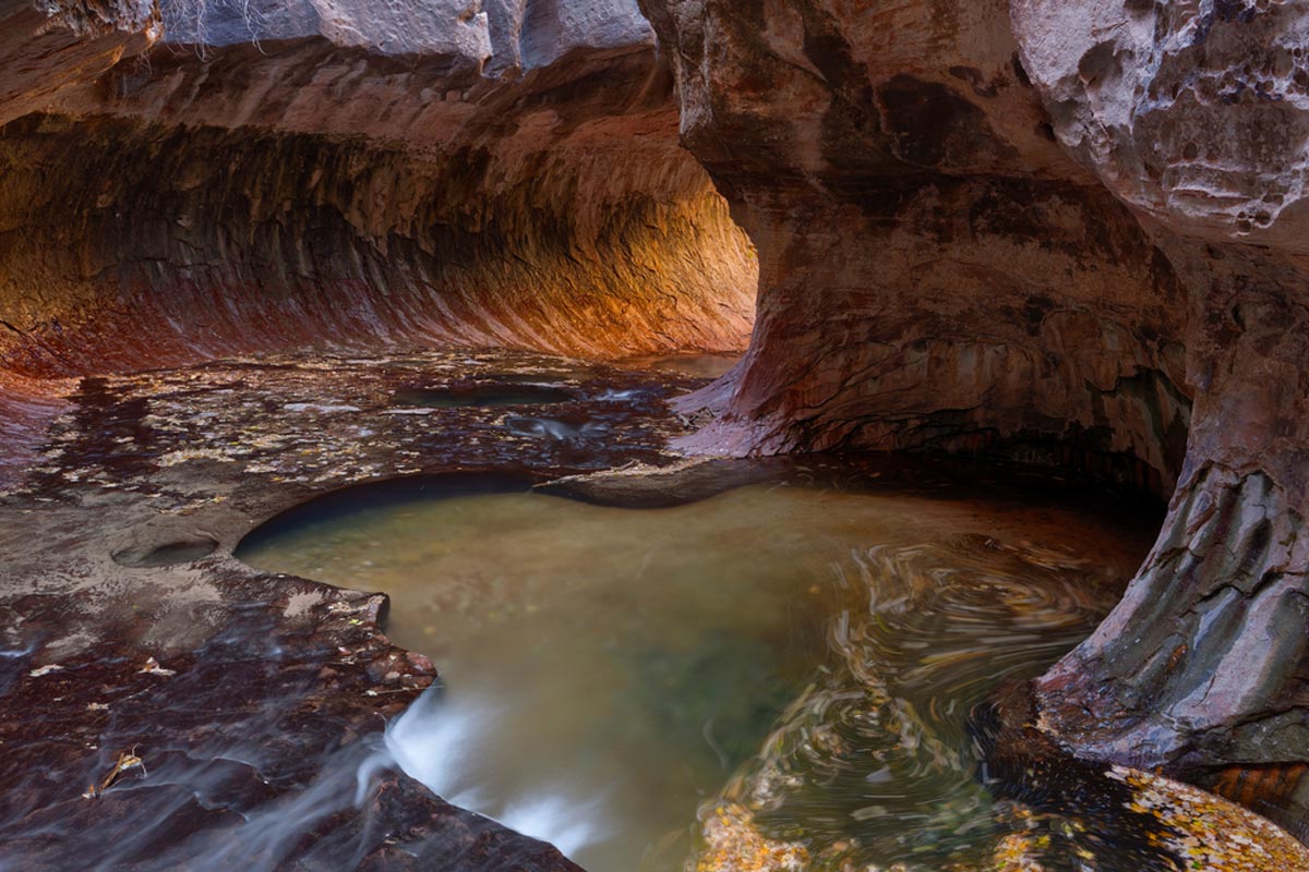
For experienced hikers, The Subway is one of the most photographed places in Zion: a section of the Left Fork of North Creek where the canyon forms a curving, tunnel-like slot with pools of green water. The bottom-up route from the Left Fork trailhead on Kolob Terrace Road involves route-finding, boulder-hopping and creek crossings, and the top-down route needs rappelling skills and a rope.
You’ll need a wilderness permit for either route, from a seasonal lottery two months ahead or a daily lottery two days before, on Recreation.gov. Like all slot canyons in Zion, it closes when flash floods are forecast.
The Best Hikes in Zion National Park: Practical Tips
- Check the NPS current conditions page before every hike. Trails in Zion close regularly for rockfall, flooding and repairs.
- Download or print a trail map. You probably won’t have phone signal on the trails, although most are well signed.
- Carry plenty of water, at least a gallon per person on a long summer hike, plus snacks and sun protection. It gets extremely hot in summer in Utah. Don’t drink from the rivers, which are under a cyanobacteria advisory.
- Bring a first aid kit for minor scrapes and blisters, as some of these trails are rocky and uneven.
- Dogs are only allowed on the Pa’rus Trail.
- Read our guide to everything you need to know before travelling to Zion National Park.