Plan your Capitol Reef National Park trip with ease using this handy interactive map.
Okay… So you’re visiting Capitol Reef National Park – an excellent choice, we must say.
The first step to planning a dream trip is checking out the handy map below so that you can come up with a killer itinerary. The second step? To start packing your bags for a trip filled with hours spent in one of Utah’s hidden gems.
Pssst… Read our guide to the best things to do in Capitol Reef National Park and thank us later.
Capitol Reef National Park Map
Interactive Capitol Reef Map
The park highlights include the best viewpoints for warm-hued sunsets, rewarding hikes, and even a few pleasant surprises like peach picking.
Reaching for your walking shoes already? This handy Capitol Reef National Park map will guide you on the right path.
Printable Map of Capitol Reef
Here’s a handy printable map of Capitol Reef – though we’d recommend sticking to the digital version above.
Sights Featured on the Capitol Reef National Park Map
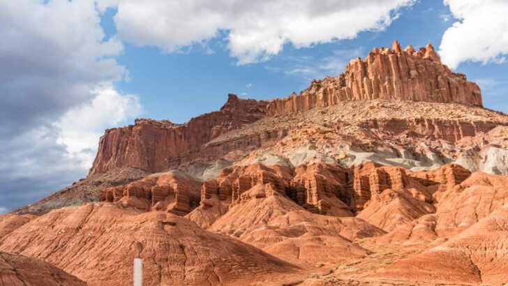
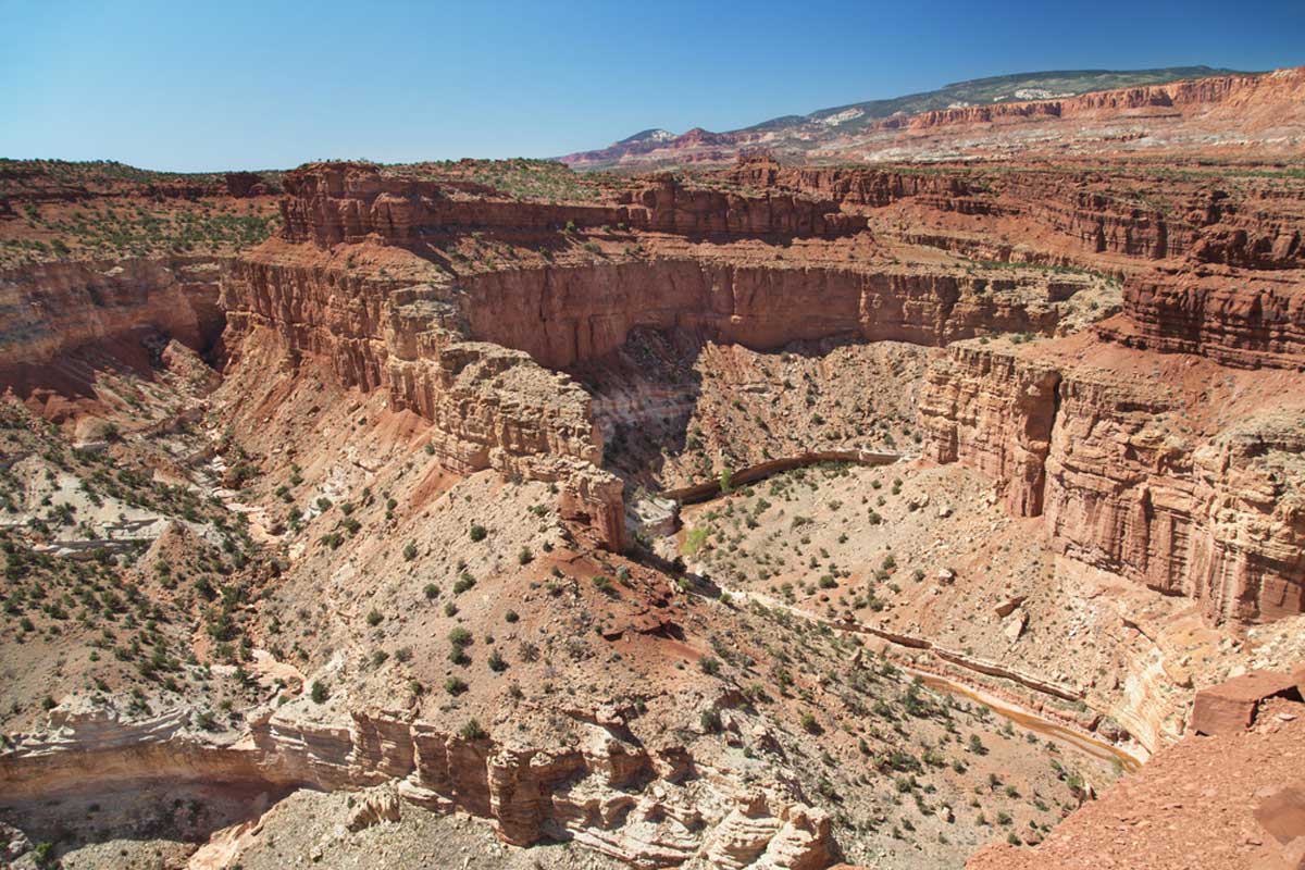
Highway 24 Scenic Drive

As one of the best introductions to the park, you’ll hardly believe your eyes at the beauty of the 15-mile drive through the fantastic nature scenes. If there isn’t much time, we’d recommend at least stopping to absorb the views at Gooseneck Overview and Panorama Point.
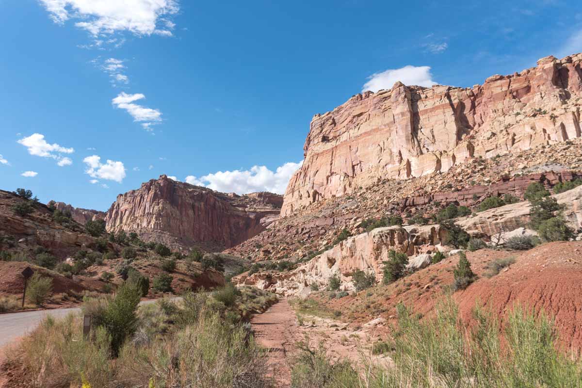
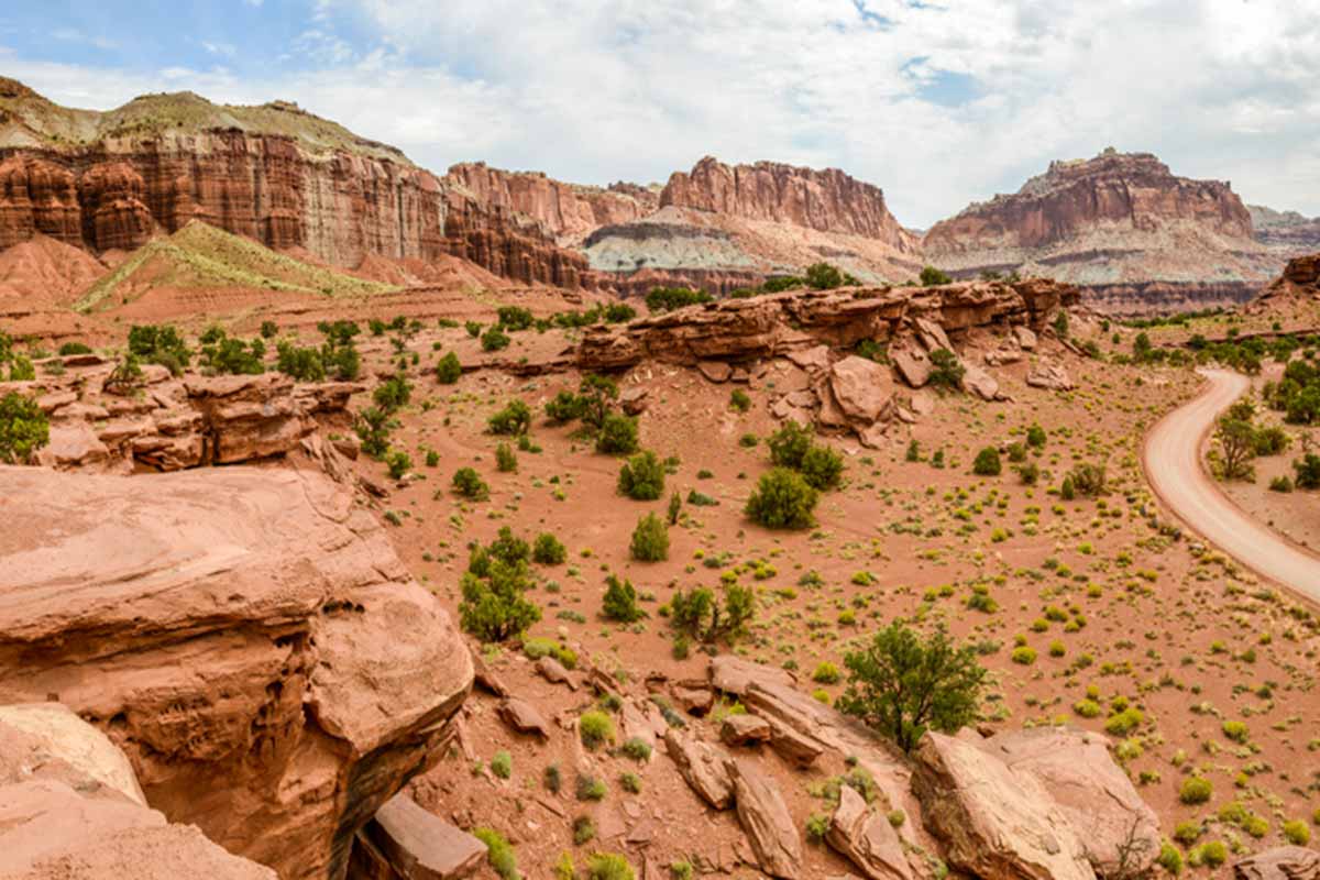
Capitol Gorge
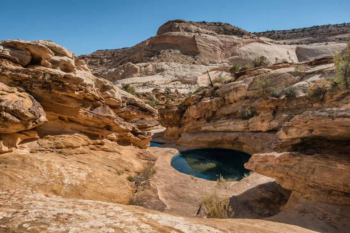
Take a closer look at the warm-hued walls and sandstone water pockets of the towering rocks at Capitol Gorge. The narrow valley is a short drive past Highway 24 scenic route, but so worth the extra miles.
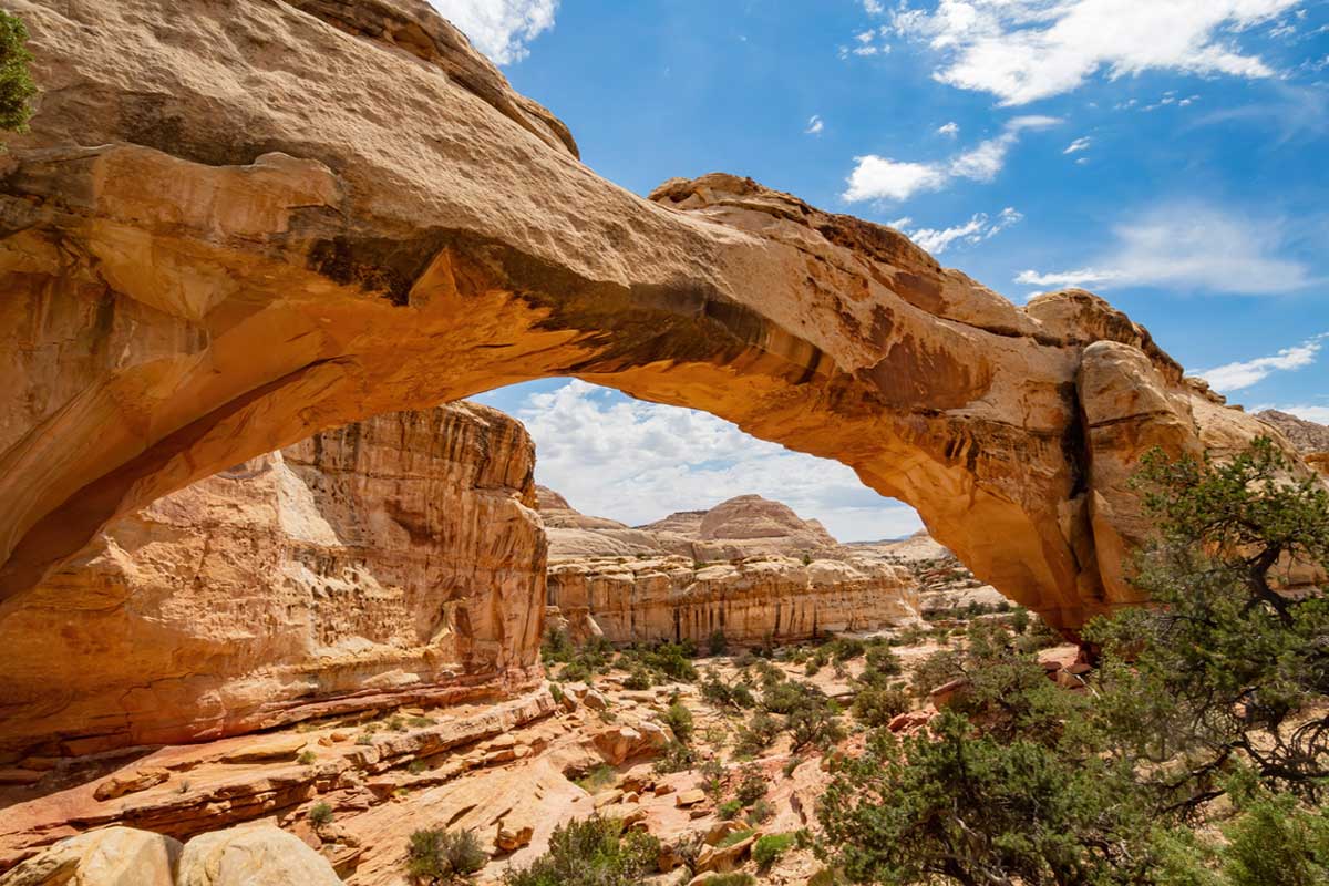
Cassidy Arch Trail
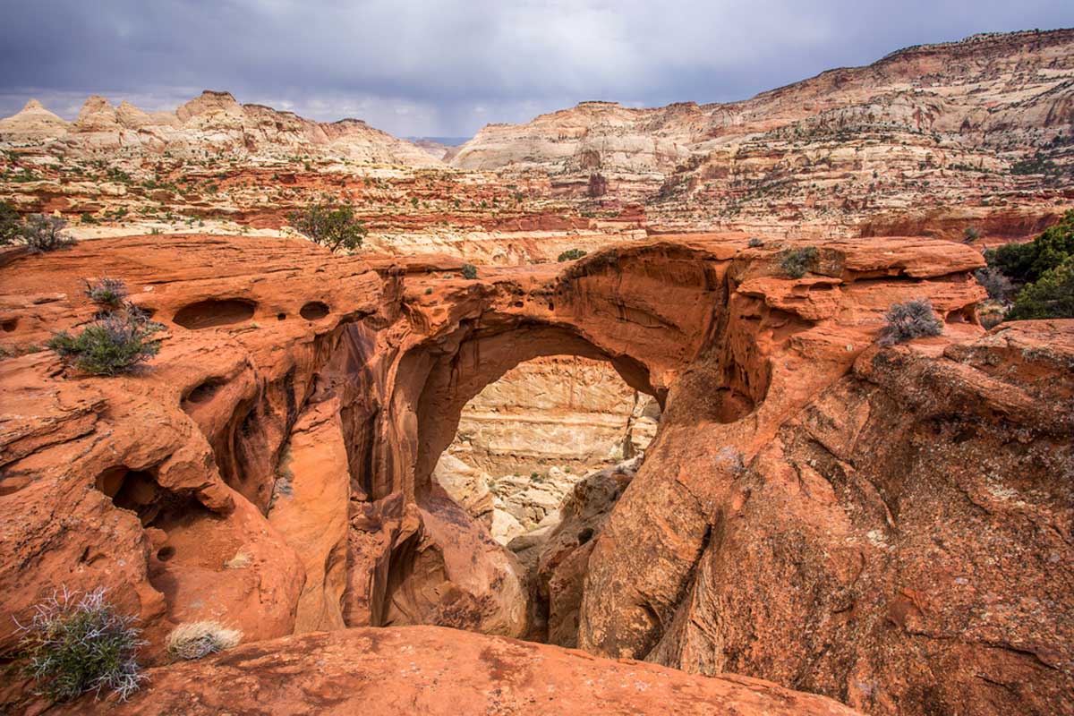
This hour-and-a-half-long hike on the distinctive red stone arch releases a good burst of endorphins and treats you to the best panoramic views of the park for miles on end.
Fruita Orchard

Visitors can choose between cherries, apples, pears, and peaches from the orchard. The best time to visit Utah for fruit picking season is typically around the end of July until mid-October.
Capitol Reef Petroglyphs
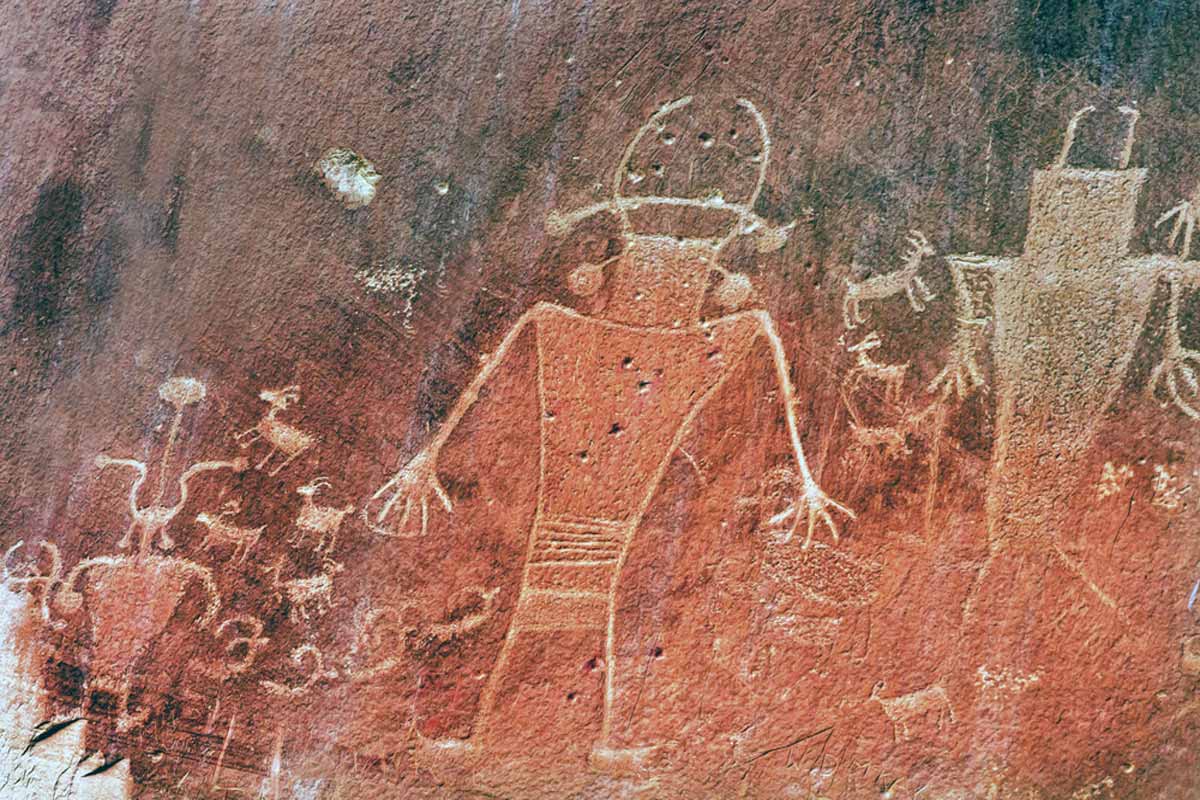
Did you know that the U.S. Southwest used to belong to the Fremont and Ancestral Puebloans? Bring along binoculars or a telephoto lens to see one of the most pristine pieces of evidence of their existence they left behind.
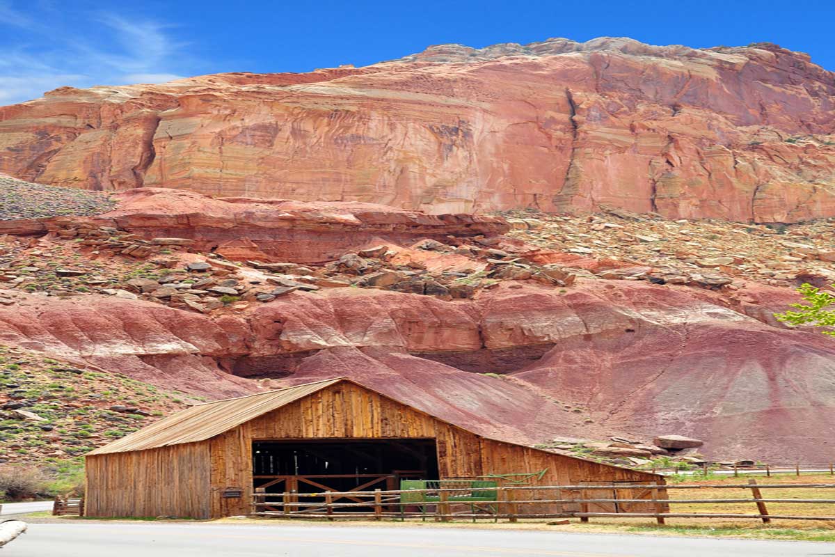
Fruita Historic District
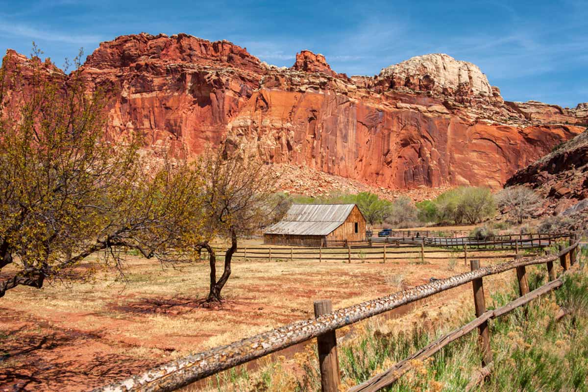
The historic district in the park was the home to many locals for millennia until less than a few decades ago. Today, you can explore the remnants of these settlers through things like the petroglyphs, abandoned structures, and gorgeous geology.
Hickman Bridge Trail
This moderate out-and-back trek is one of the more popular hikes in the park. It’s not difficult to see why, as it takes less than an hour to complete, but it offers many great views.
It sees you passing varying sizes of arches, Fremont River views, and the Fruita Orchards.
Capitol Reef Visitor Center
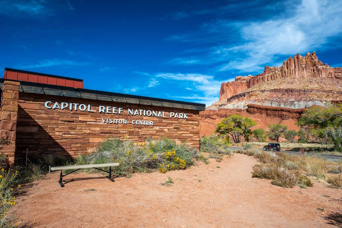
Visit the newly renovated Capitol Reef Visitor Center for the inside scoop on all things Capitol Reef.
They’ve added more exhibitions detailing the park’s history and geological wonders, and there are also plenty of park rangers on hand to answer any questions you have about the park.
Temple of the Sun and Moon
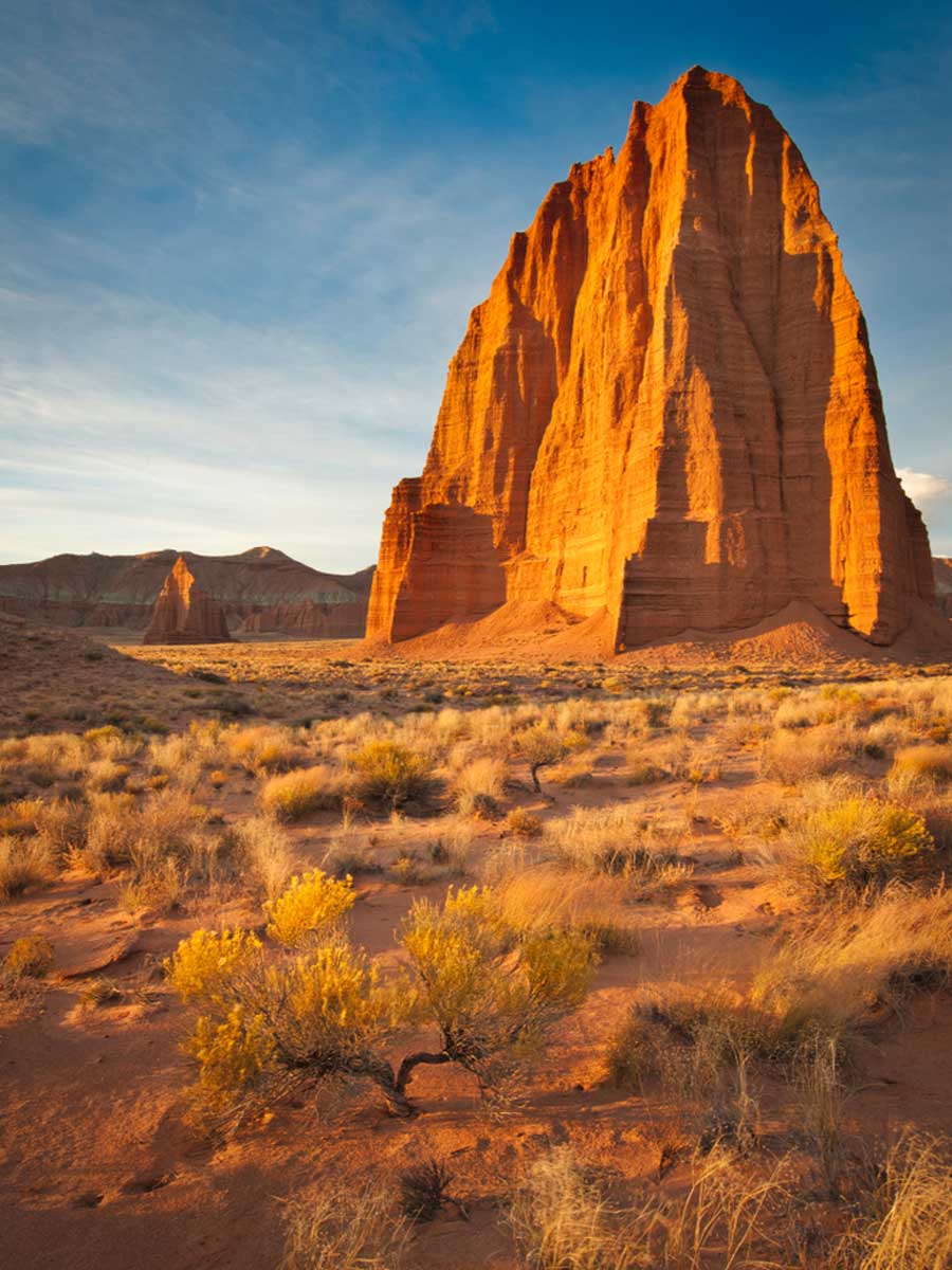
Hiding in a remote spot in the park, these incredible monoliths date back to the Jurassic period. The easiest way to see the otherworldly striped beauties is through a high-clearance 4×4 ride.
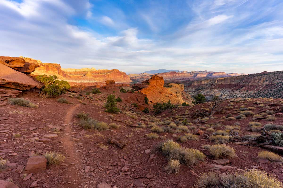
Panorama Point
As the name suggests, this point gives you 360° views of the park. It’s especially beautiful at sunset or during a night sky full of stars.
Goosenecks Overlook
Hiking novices, don’t miss out on birdseye sights with this short and easy hike. It takes you to the top of the park for breathtaking views, perfect for snapping iconic Instagram pictures.
Sunset Point
As one of the shorter hikes in the parks and one of the best places to see the sun setting behind the horizon, you have no excuse to miss this gem. Time your sunset perfectly with this handy site.
Pioneer Register
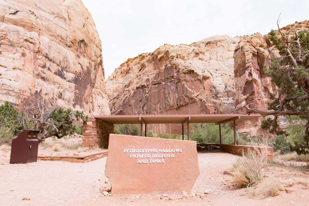
Think of the Pioneer Register as an old logbook with etches in the wall from past visitors dating as far back as the 1800s. It is a wonderful glimpse into the past on a hike.
Gifford Homestead
Once the home to the last farmers of Fruita, this house is now a stop for souvenirs selling homemade household items, books, and postcards.
Map of Capitol Reef National Park: Practical Tips
- Instead of paying multiple entrance fees, get an America the Beautiful Card for an annual pass. You can get free access if you’ve served in the military or have a disability.
- Generally, there is little to no signal within the park. If you’re planning on using a digital map like, save it offline. Or, go the old way and buy a paper map like this one or this one instead.